Description
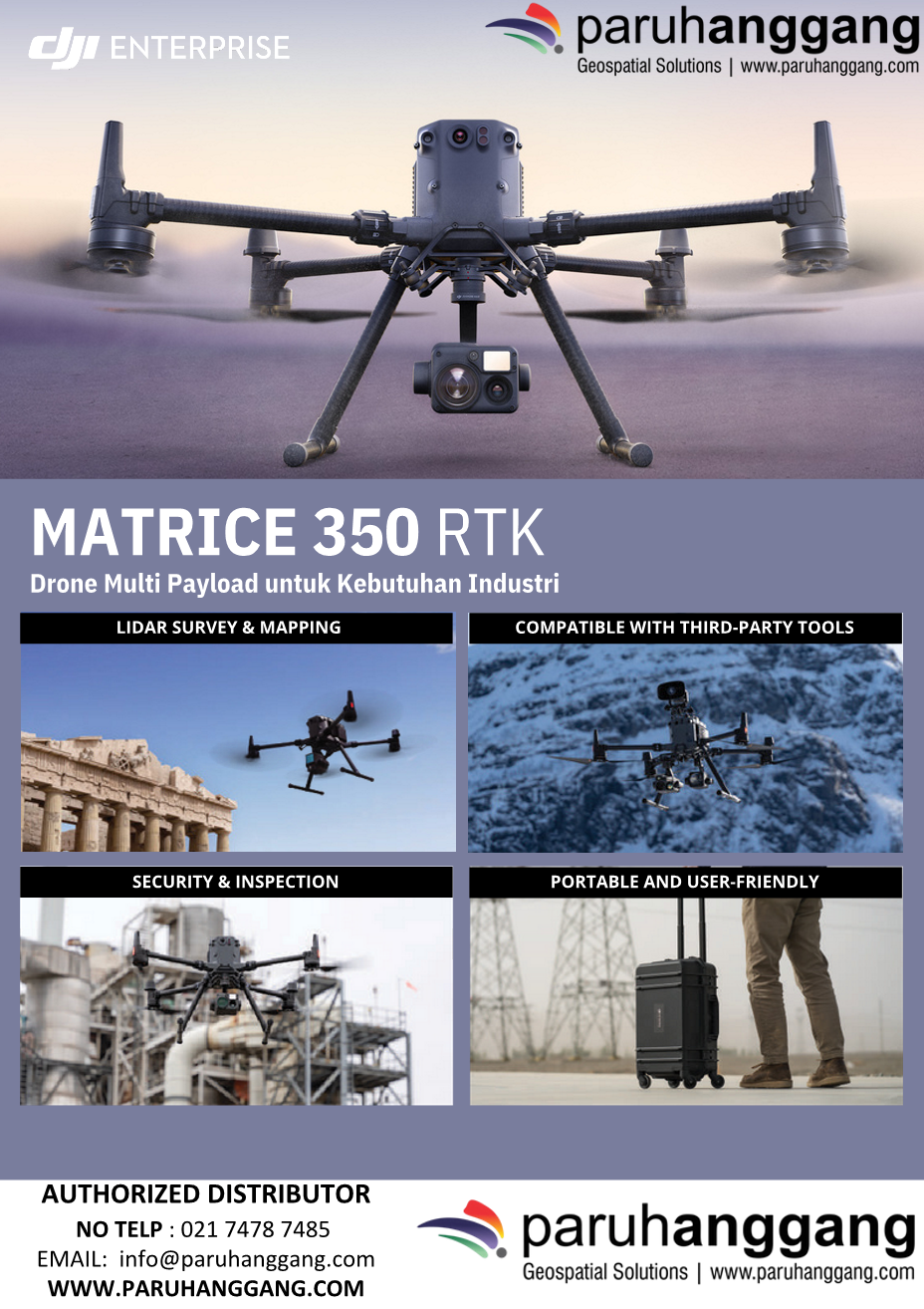
DJI Matrice 350 RTK is a flagship enterprise drone built for surveying, mapping, inspection, public safety, and industrial operations. Featuring advanced RTK positioning, extended flight endurance, and support for multiple payloads, it delivers exceptional accuracy, reliability, and operational efficiency in demanding environments.
Key Features
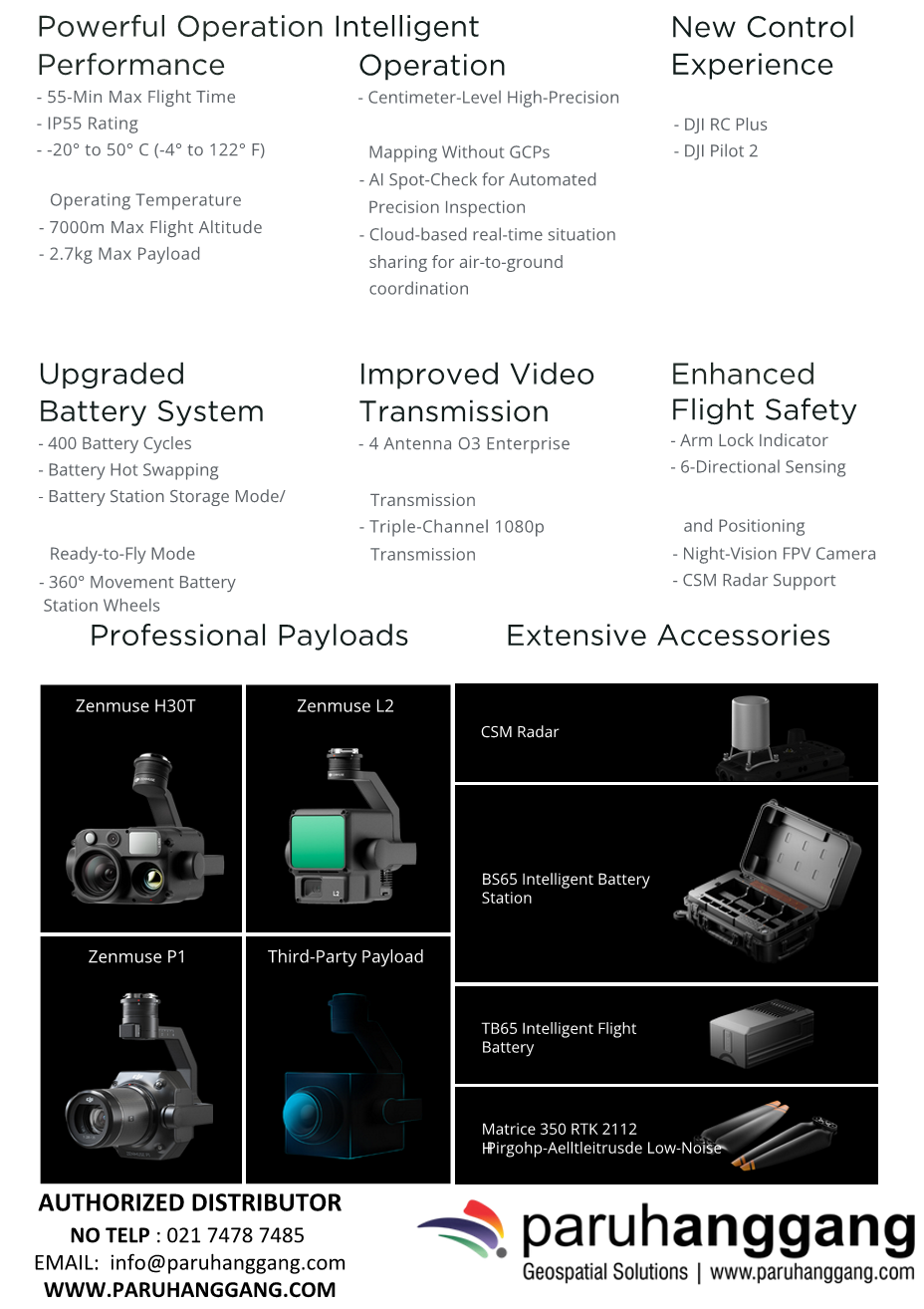
- High-Precision RTK – Centimeter-level positioning for accurate surveying and inspection.
- Long Flight Time – Up to 55 minutes of maximum flight time.
- Multi-Payload Support – Compatible with Zenmuse H30 Series, H20 Series, L2, P1, and other enterprise payloads.
- Enhanced Safety – Six-direction obstacle sensing and advanced navigation for safe operations.
- IP55 Protection – Dust and water resistance for reliable performance in harsh environments.
- DJI O3 Enterprise Transmission – Stable HD video transmission with extended operational range.
- DJI Ecosystem Integration – Compatible with DJI FlightHub 2, DJI Terra, and DJI Dock for mission planning, fleet management, and data processing.
Applications
Ideal for:
- Surveying & Mapping
- GIS Data Collection
- LiDAR Surveying
- Photogrammetry
- Infrastructure Inspection
- Utilities & Power Line Inspection
- Oil & Gas
- Public Safety
- Emergency Response
Main Benefits
- High-precision RTK positioning
- Long-endurance flight performance
- Flexible multi-payload capability
- Reliable operation in challenging environments
- Professional-grade data collection and inspection
In summary, the DJI Matrice 350 RTK is a versatile and reliable enterprise drone that combines precision positioning, extended flight time, and flexible payload support, making it an ideal platform for professional surveying, mapping, inspection, and public safety operations.