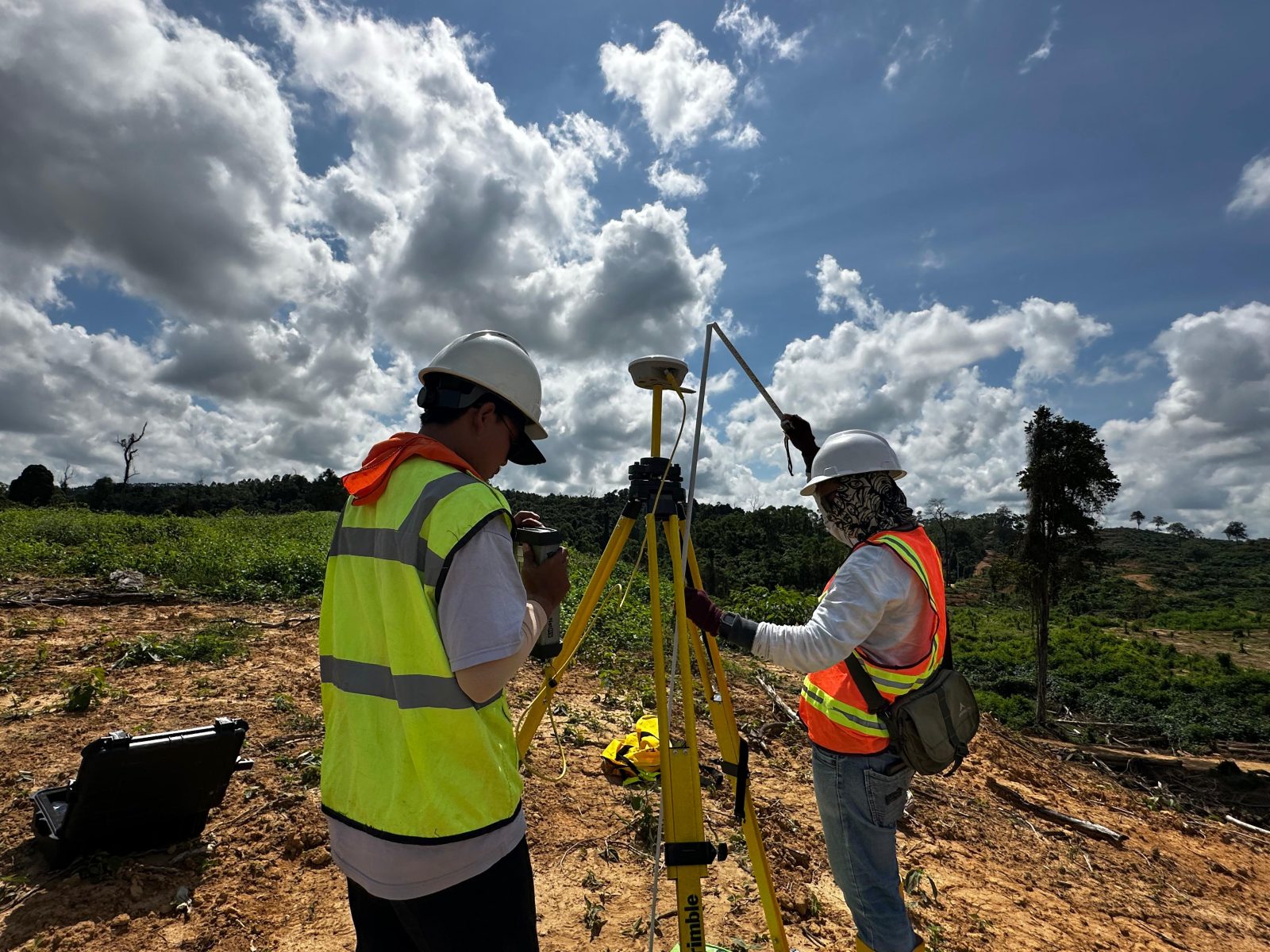
PEMETAAN UDARA & DIGITALISASI TAPAK BANGUNAN Kantor Pertanahan Kota Padang...
Read More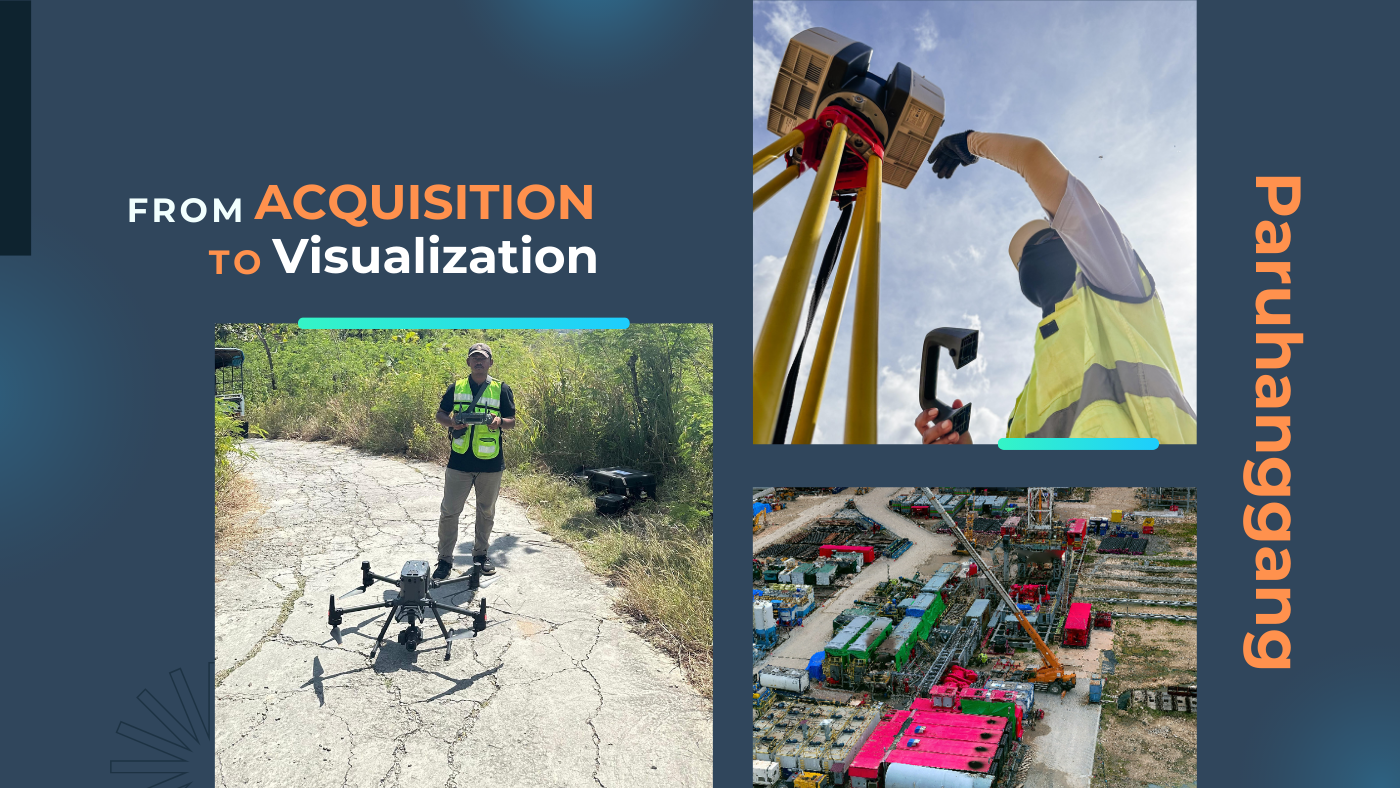


GovernmentOil & GasMiningPrivate Companies


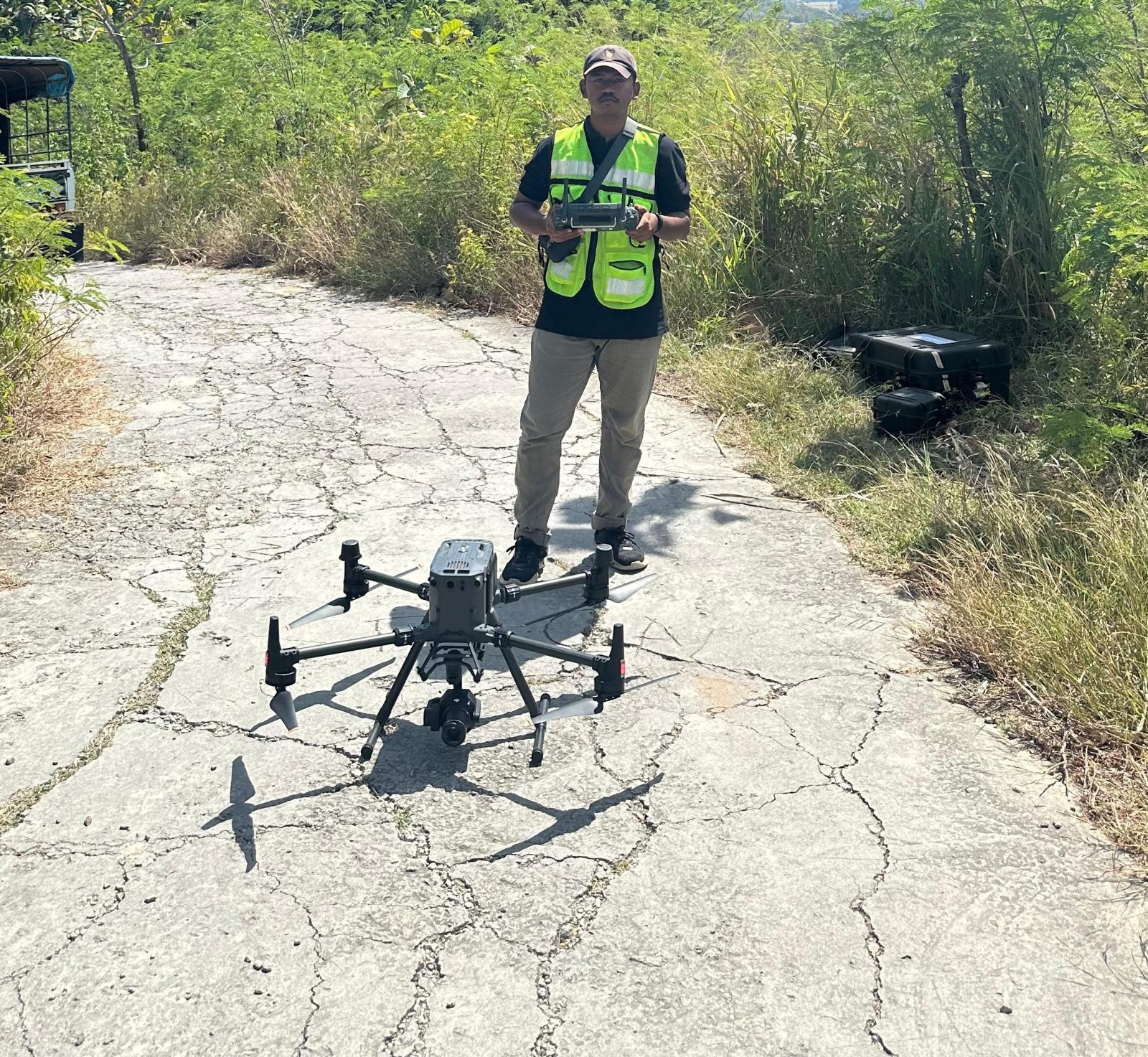
PEMBUATAN FOTO TEGAK (PIHAK KETIGA) PEMOTRETAN DRONE PADA KANTOR PERTANAHAN KOTA PADANG SIDIMPUAN
PEMETAAN UDARA & DIGITALISASI TAPAK BANGUNAN Kantor Pertanahan Kota Padang...
Read More
PEMETAAN UDARA & DIGITALISASI TAPAK BANGUNAN
PEMBUATAN FOTO TEGAK (PIHAK KETIGA) PEMOTRETAN DRONE PADA KANTOR PERTANAHAN...
Read More
Copyright © 2026 Paruh Anggang, All rights reserved.