
Description
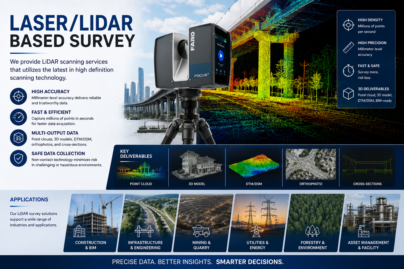
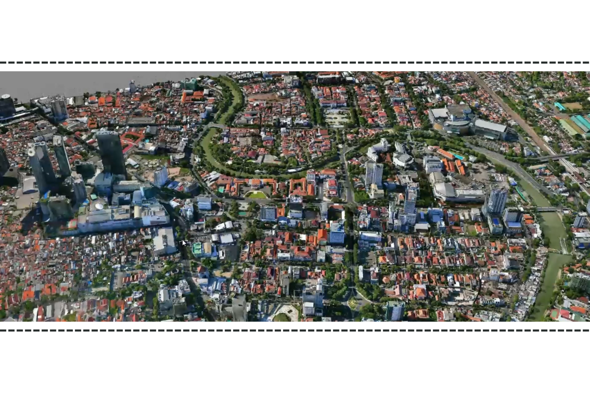
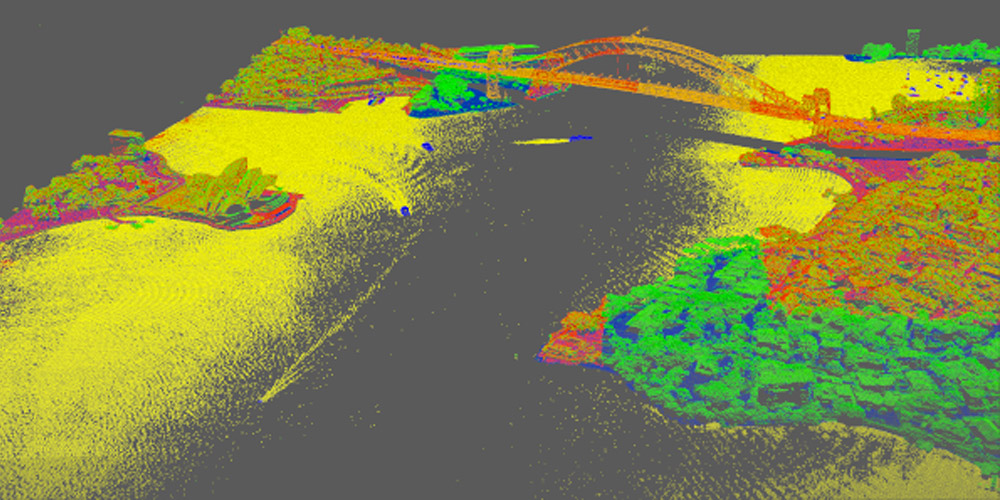
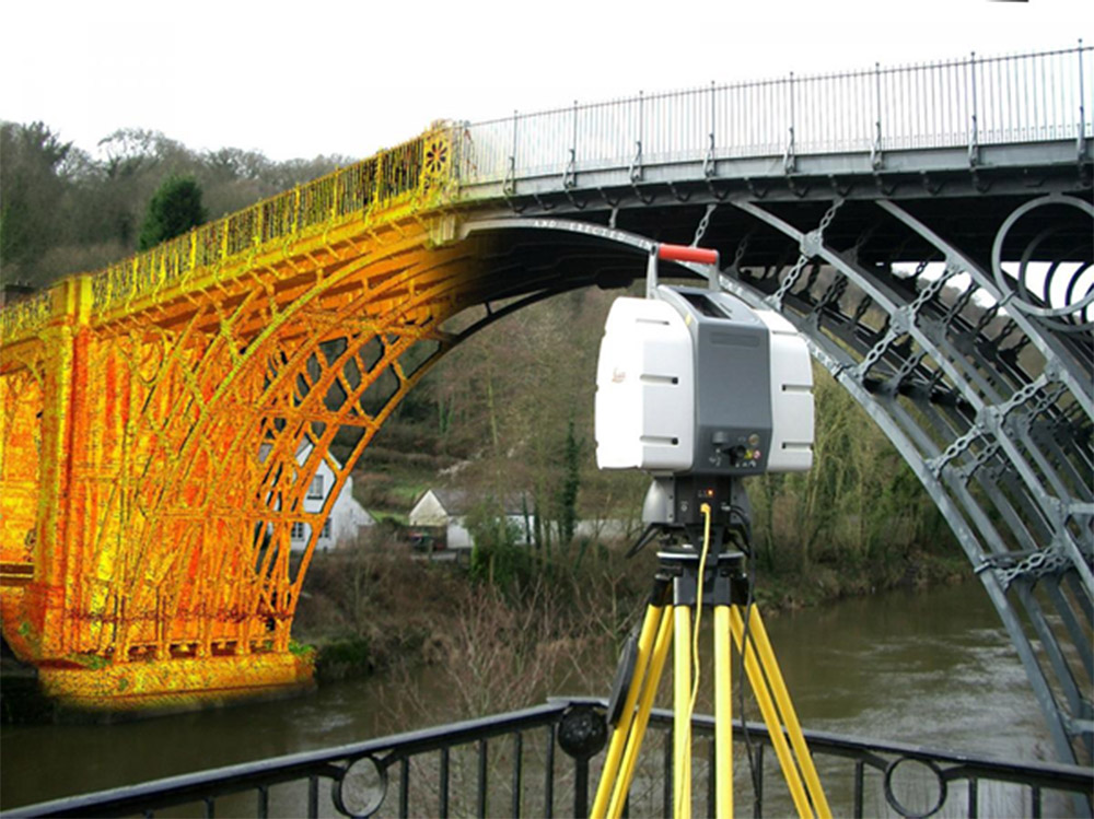
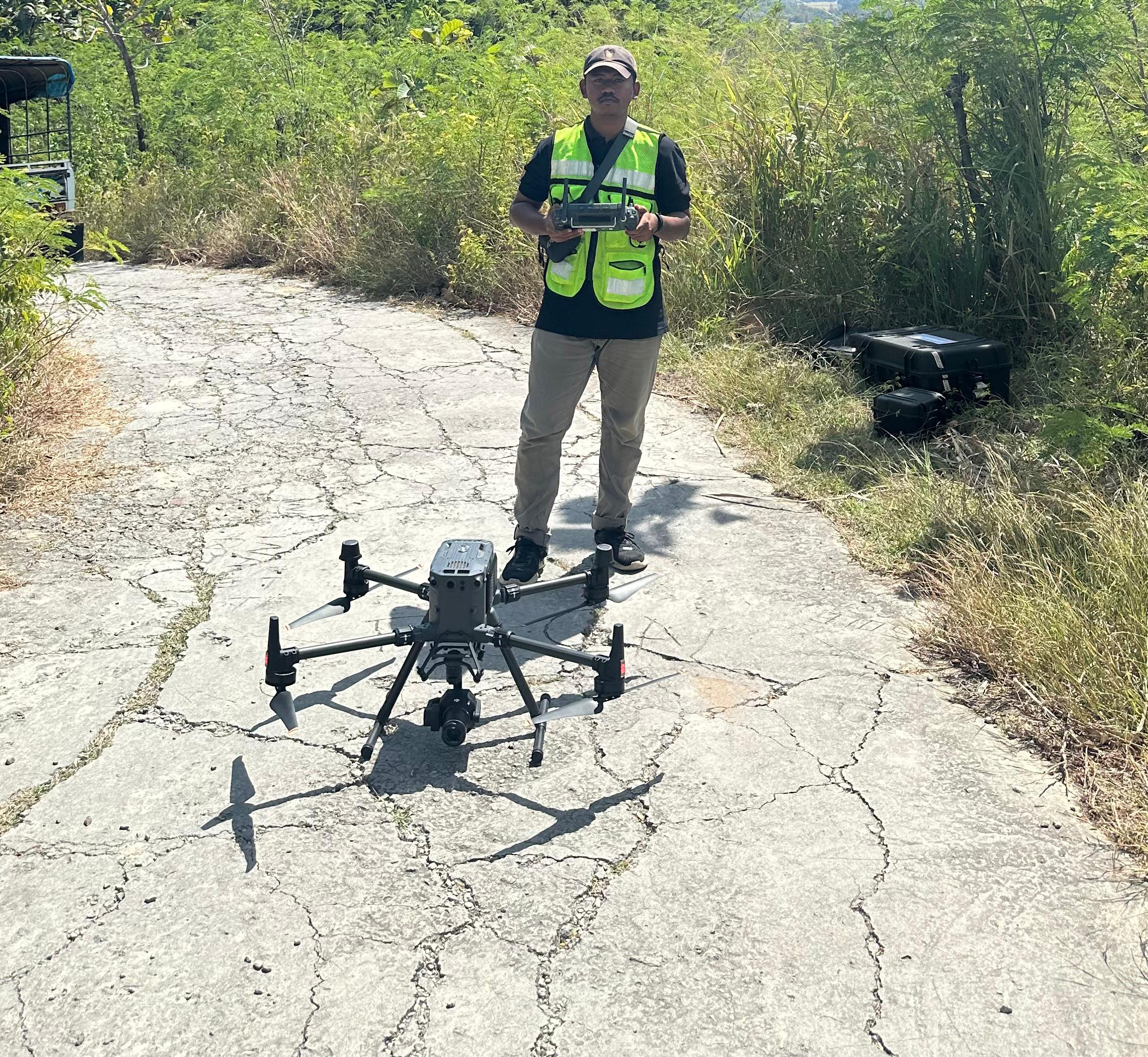
We provide professional Laser/LiDAR surveying services utilizing the latest high-definition laser scanning technology to capture highly accurate three-dimensional (3D) spatial data. Our solutions deliver fast, precise, and comprehensive measurements for complex environments, enabling the creation of detailed point clouds, digital terrain models (DTM), digital twins, and BIM-ready datasets. With advanced LiDAR technology, we support infrastructure development, engineering, construction, mining, forestry, utilities, and asset management projects by providing reliable geospatial information for planning, analysis, and decision-making.