
Description
Agisoft Metashape — Intelligent photogrammetry
enhanced with LiDAR data processing
Agisoft Metashape is a cutting-edge photogrammetry software solution, continuously enhanced to incorporate the latest scientific advancements in photogrammetry.
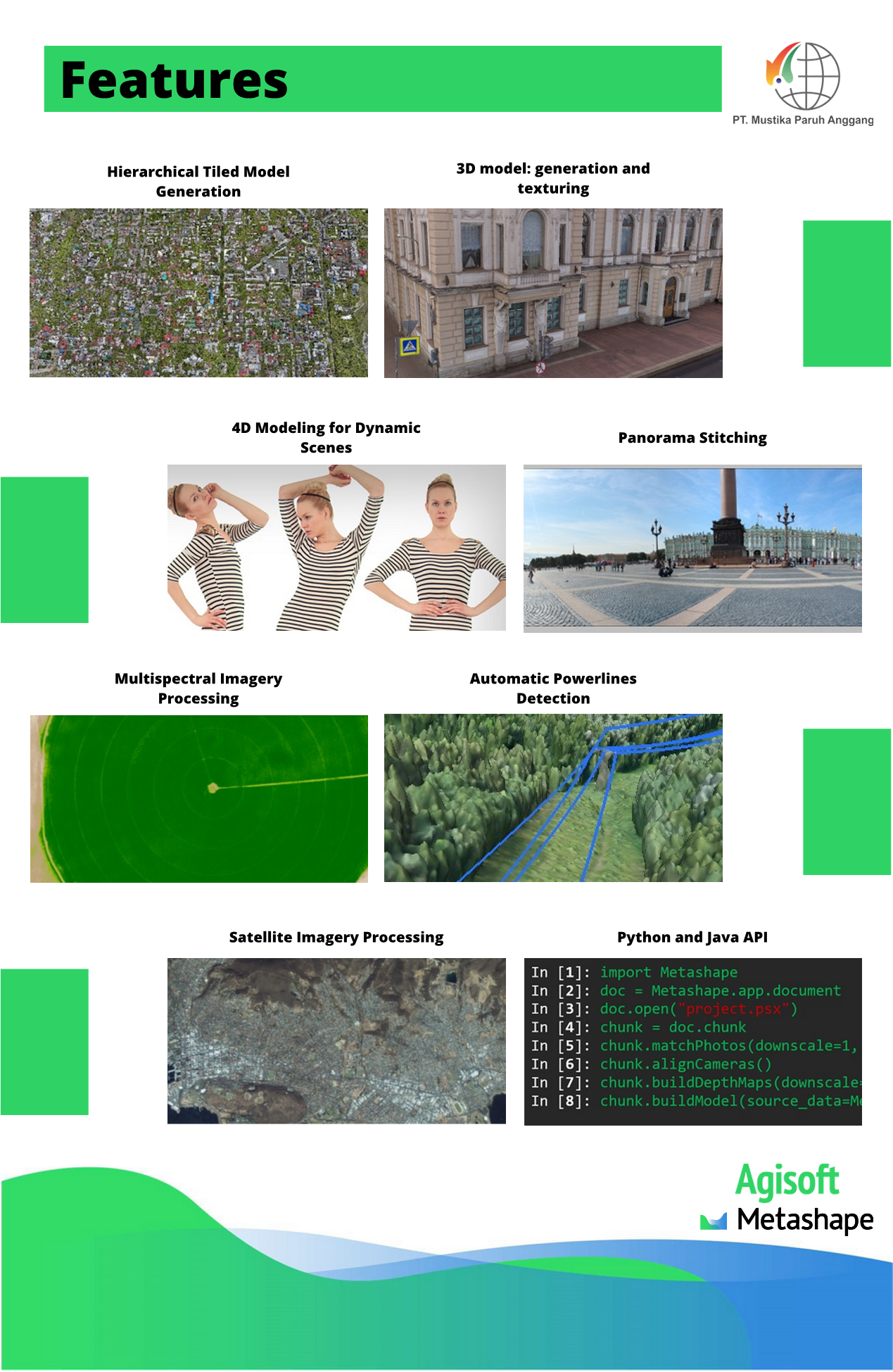
The software processes images captured by RGB, multispectral, and multi-camera systems into high-value geospatial products, including:
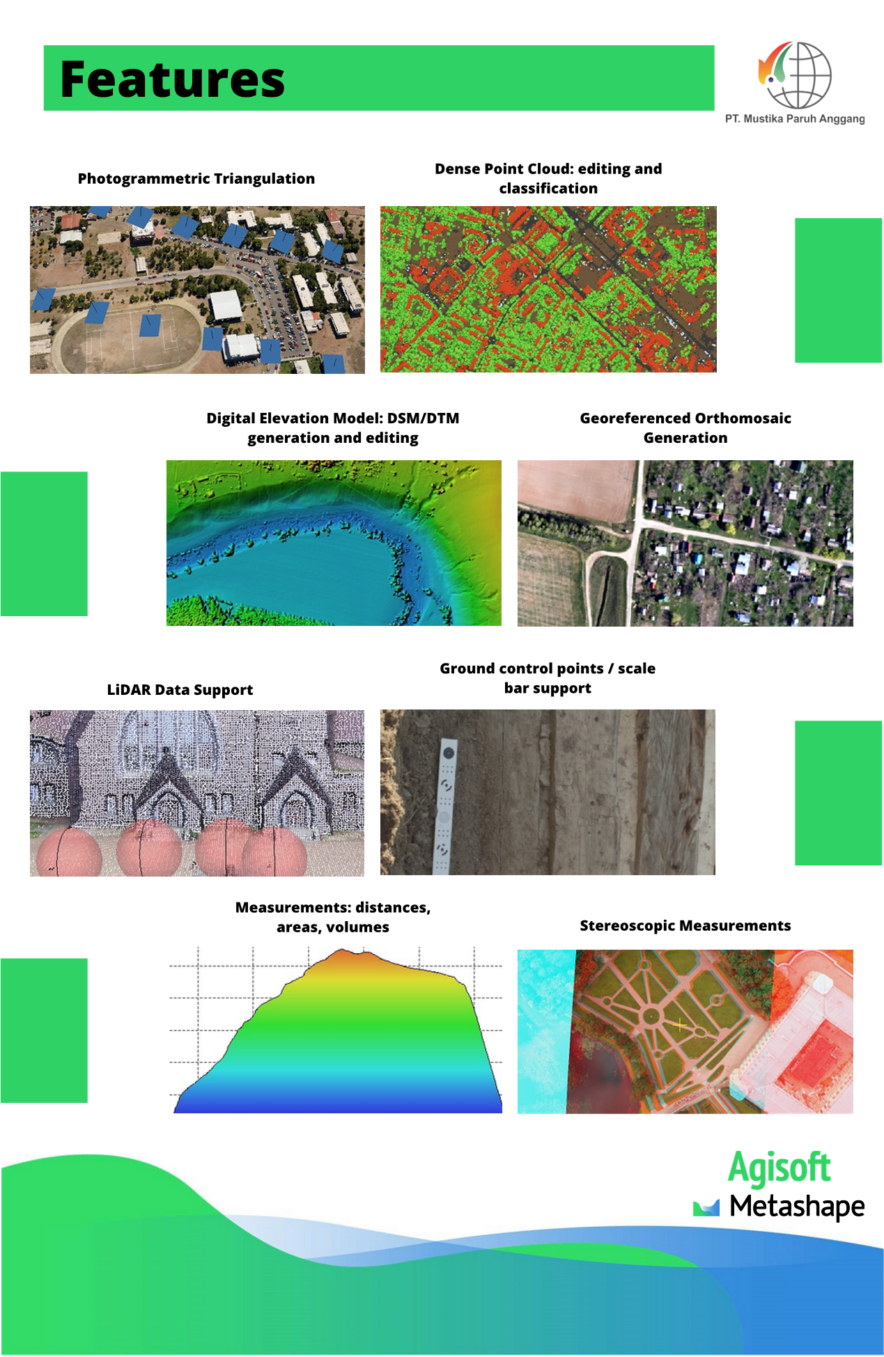
- Photogrammetric point clouds
- Textured 3D polygonal models
- Georeferenced true orthomosaics
- Digital Surface Models (DSM)
- Digital Terrain Models (DTM)
Agisoft Metashape also supports the integration of aerial imagery with LiDAR point clouds, allowing users to leverage the strengths of both data sources for superior accuracy and completeness.
Advanced post-processing tools enable users to:
- Remove shadows and texture artifacts from 3D models
- Calculate vegetation indices for precision agriculture
- Generate action maps for farming equipment
- Automatically classify dense point clouds
- Produce high-quality geospatial outputs for surveying, mapping, engineering, mining, forestry, agriculture, and infrastructure projects.